Sean 2023
AL192023 Advisory Number 21,
DISCLAIMER This is not official information or modeling, I’m just a dude on the internet. Please follow all guidance from NOAA and your local officials.
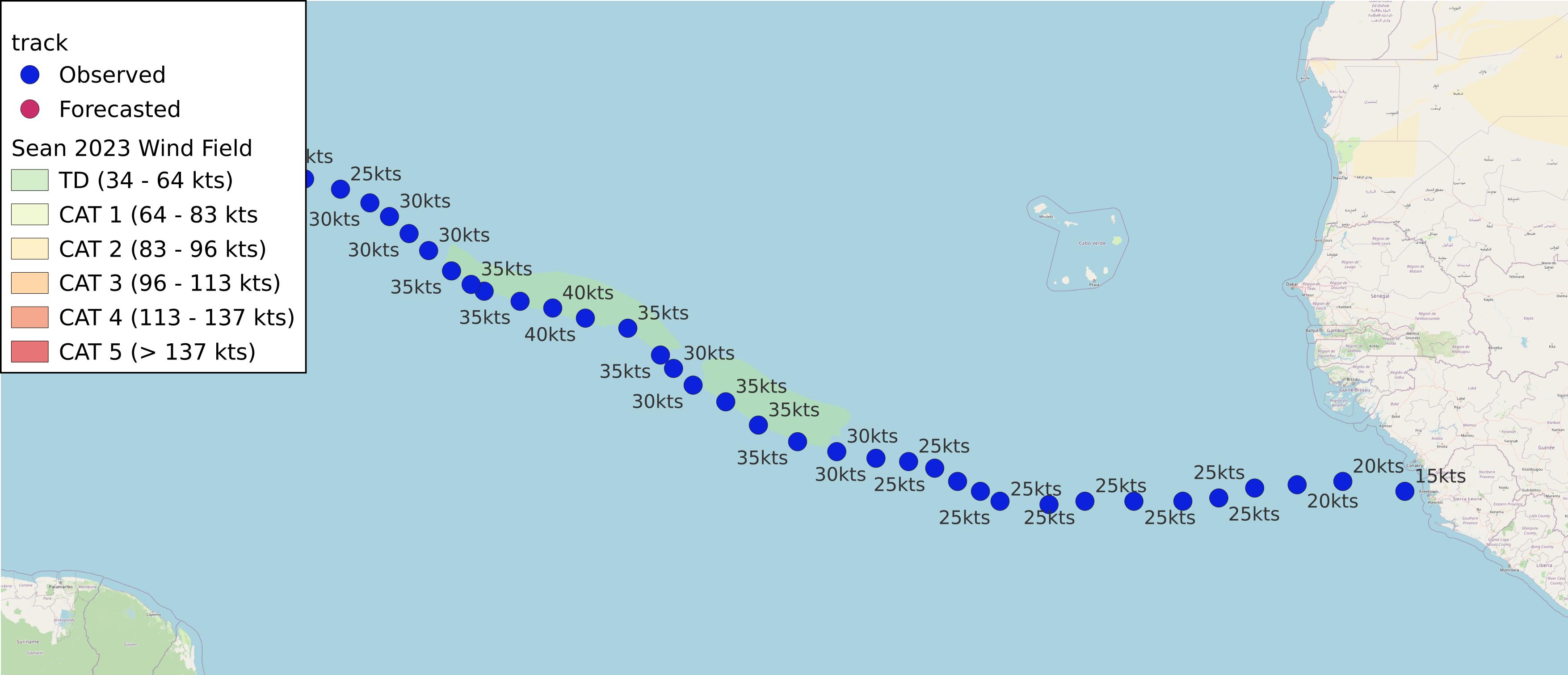
Windfield Map

- as of 2023-10-16T03:02:44+00:00
- 100px per degree
- GWAF 0.9
- No Friction
- default radius of maximum wind is 15kts
Useful Links
- NOAA Active Cyclones
- Tropical Tidbits
- https://www.nhc.noaa.gov/text/refresh/MIATCPAT4+shtml/160233.shtml
Data Files
File List:
sean2023_100x100.csvsean2023_100x100.pngsean2023_100x100.wldsean2023_100x100_2023-10-16T030200+0000.jpeg
Official Advisory Discussion
At 1100 PM AST (0300 UTC), the center of Post-Tropical Cyclone Sean was located near latitude 18.2 North, longitude 49.3 West. The post-tropical cyclone is moving toward the west-northwest near 12 mph (19 km/h). A turn toward the west with an increase in forward speed is expected overnight and Monday morning.
Maximum sustained winds are near 30 mph (45 km/h) with higher gusts. Weakening is forecast, and Sean is expected to dissipate into an open trough by Monday night or Tuesday.
The estimated minimum central pressure is 1011 mb (29.86 inches).
HAZARDS AFFECTING LAND
None
NEXT ADVISORY
This is the last public advisory issued by the National Hurricane Center on this system. Additional information on this system can be found in High Seas Forecasts issued by the National Weather Service, under AWIPS header NFDHSFAT1, WMO header FZNT01 KWBC, and online at ocean.weather.gov/shtml/NFDHSFAT1.php
$$ Forecaster Berg