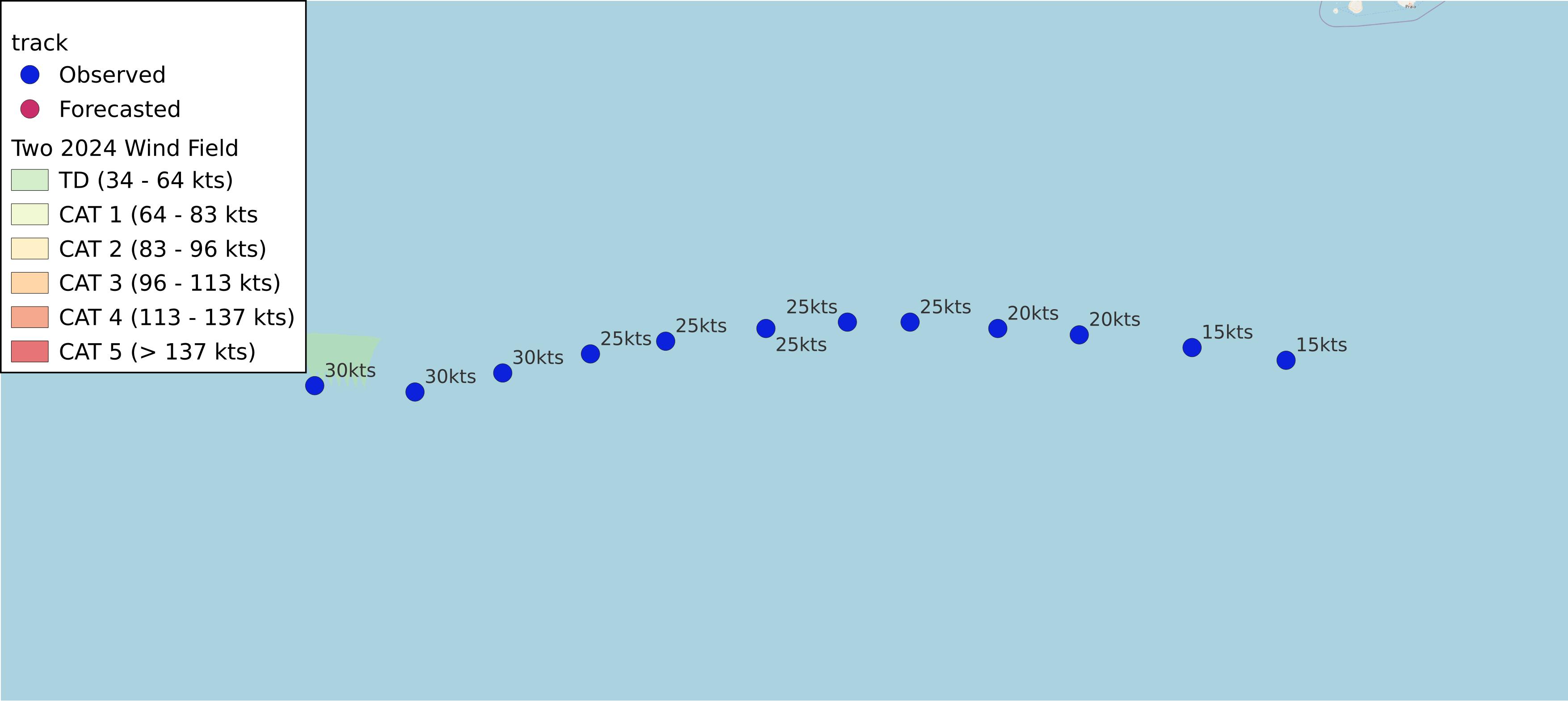
Two 2024
AL022024 Advisory Number 1,
DISCLAIMER This is not official information or modeling, I’m just a dude on the internet. Please follow all guidance from NOAA and your local officials.
Windfield Map

- as of 2024-06-28T21:00:53+00:00
- 100px per degree
- GWAF 0.9
- No Friction
- default radius of maximum wind is 15kts
Useful Links
- NOAA Active Cyclones
- Tropical Tidbits
- https://www.nhc.noaa.gov/text/refresh/MIATCPAT2+shtml/282058.shtml
- https://www.nhc.noaa.gov/refresh/graphics_at2+shtml/203520.shtml?cone
Data Files
File List:
two2024_100x100.csvtwo2024_100x100.pngtwo2024_100x100.wldtwo2024_100x100_2024-06-28T210000+0000.jpeg
Official Advisory Discussion
At 500 PM AST (2100 UTC), the center of Tropical Depression Two was located near latitude 9.1 North, longitude 41.9 West. The depression is moving toward the west near 17 mph (28 km/h). A relatively quick westward to west-northwestward motion is expected during the next few days. On the forecast track, the system is expected to move across the Windward Islands late Sunday night and Monday.
Maximum sustained winds are near 35 mph (55 km/h) with higher gusts. Steady strengthening is forecast, and the depression is expected to become a tropical storm tonight or early Saturday and a hurricane in a couple of days.
The estimated minimum central pressure is 1007 mb (29.74 inches).
HAZARDS AFFECTING LAND
Key messages for Tropical Depression Two can be found in the Tropical Cyclone Discussion under AWIPS header MIATCDAT2 and WMO header WTNT42 KNHC.
RAINFALL: Tropical Depression Two is expected to produce rainfall totals of 3 to 6 inches across Barbados and the Windward Islands. This rainfall may produce localized flooding in vulnerable areas.
For a complete depiction of forecast rainfall and flash flooding associated with Tropical Depression Two, please see the National Weather Service Storm Total Rainfall Graphic, available at hurricanes.gov/graphics_at2.shtml?rainqpf and the Flash Flood Risk graphic at hurricanes.gov/graphics_at2.shtml?ero
SURF: Swells generated by the depression are expected to reach the Windward and southern Leeward Islands by late Sunday. These swells are likely to cause life-threatening surf and rip current conditions. Please consult products from your local weather office.
NEXT ADVISORY
Next complete advisory at 1100 PM AST.
$$ Forecaster Cangialosi